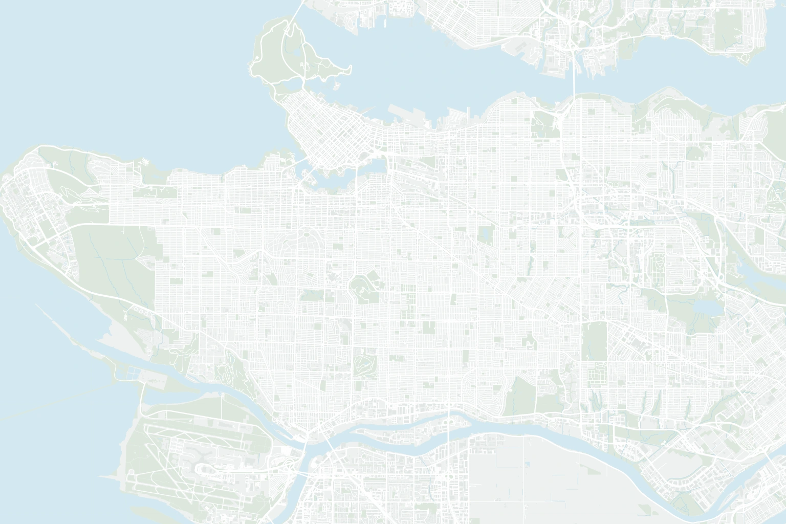
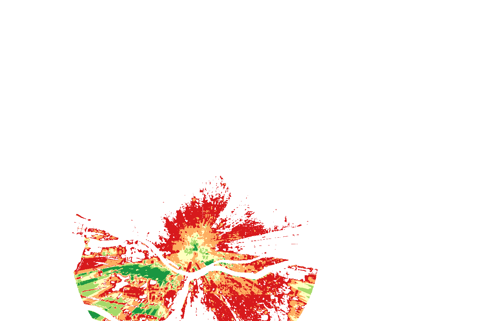
RF Coverage
Put the signal in context.
Plan cellular coverage with terrain, buildings, and vegetation in view. Study sectors, compare sites, and share the coverage with your team.
Explore RF CoverageMaps, workflows, APIs, and AI in one platform. Decide faster, automate your work, and share it with your business.
On our cloud. Or inside yours.One workspace, from your first layer to the answer you share.
Bring your layers together in one workspace for your whole team. Style your maps and explore patterns in the same place.
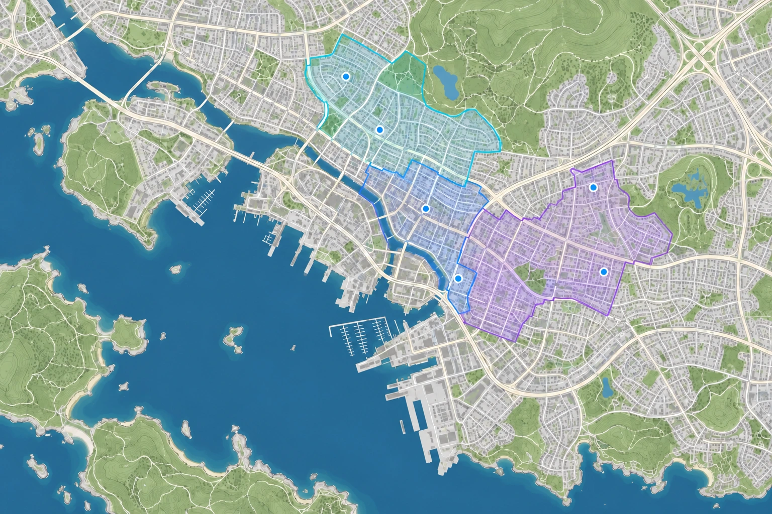
Turn your team’s work into services the business can use. Publish APIs, run workflows on a schedule, and share maps and dashboards.
One home for everything you publish.
Your data powers your maps and AI. APIs feed your workflows. Scheduled flows keep everything current.
Connect files, databases, and APIs. Clean and combine your data, then automate the steps you repeat.
Explore WorkflowsBring location records into the workflow.
 Tamaat AI
Ask a question in plain language and get an answer from your own project data.
Explore Tamaat AIPut maps, charts, and key numbers in one view. Let people filter, explore, and find what matters to them.
Water · Harbour
Plan cellular coverage with terrain, buildings, and vegetation in view. Study sectors, compare sites, and share the coverage with your team.
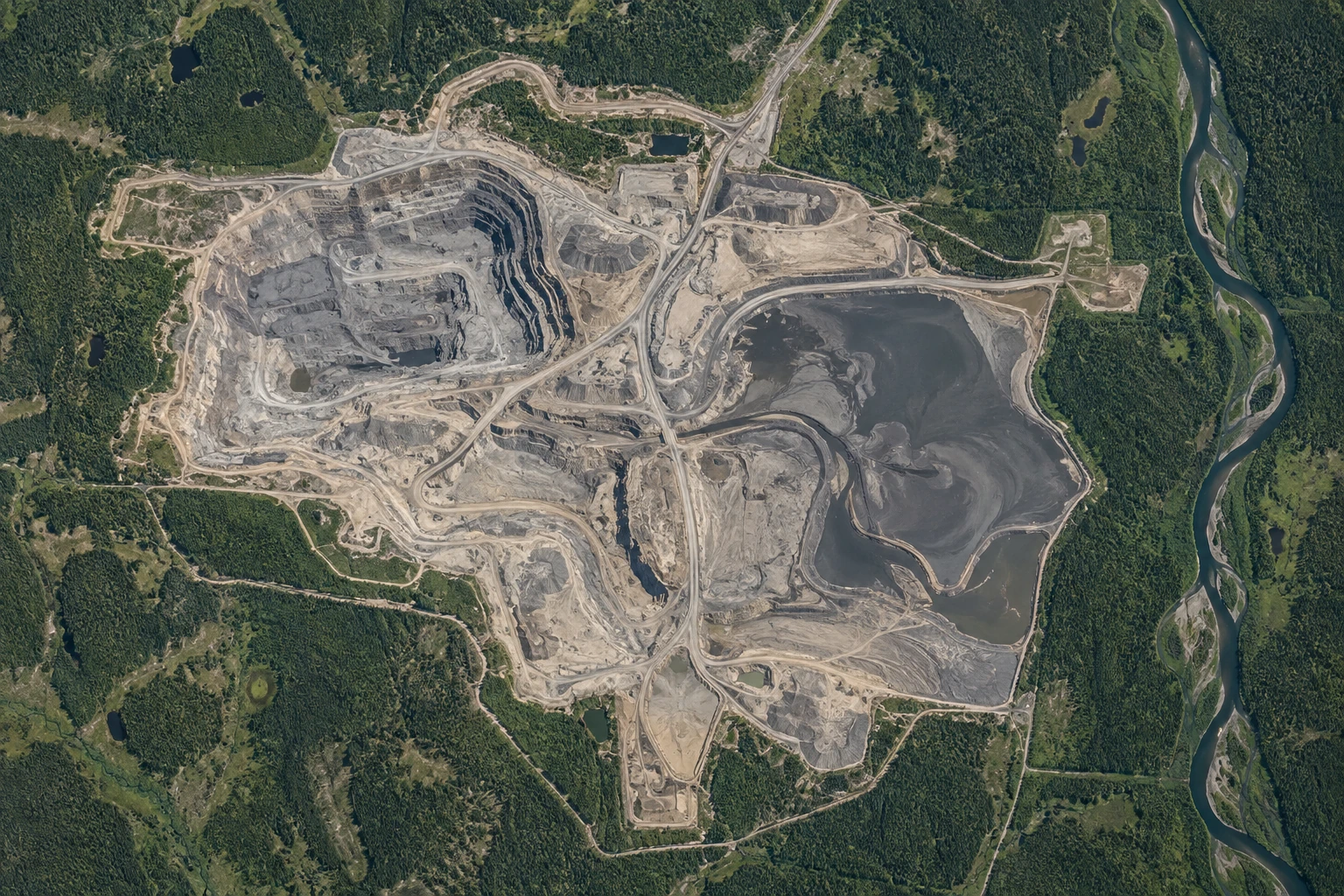
Explore RF CoverageFollow the places that matter and compare imagery over time. Review the evidence behind every change.
Explore Remote Sensing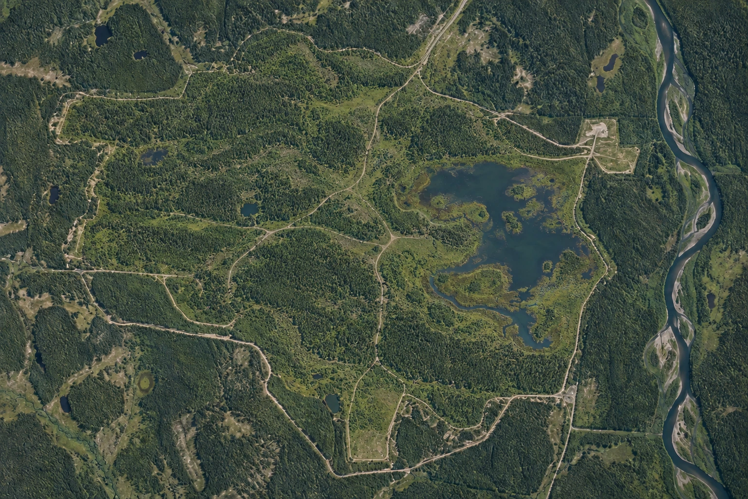
Maps, analysis, automation, APIs, and AI, all managed for you.
Run Tamaat in your own environment and keep your data under your control.
Keep maps, data, and workflows together in one place.
Manage roles and permissions across your workspace.
Your next map. Your next workflow. Your next business capability.