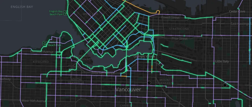
Vancouver bikeways
Vancouver’s cycling network by lane type. Source: City of Vancouver Open Data, Open Government Licence – Vancouver.
Source: City of Vancouver Open Data, Open Government Licence – Vancouver.
Draw your network in its own colours, line by line and stop by stop. Click any line or station to see what’s behind it.
Metro lines
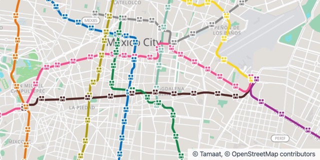
Every line and stop in its own colour, with the details one click away.
Count what’s within reach of every stop, neighbourhood by neighbourhood.
Publish your stations and lines so other teams and apps can use them.
Vancouver’s cycling network by lane type. Source: City of Vancouver Open Data, Open Government Licence – Vancouver.
Source: City of Vancouver Open Data, Open Government Licence – Vancouver.
Metro lines and stations in their official colours. Source: SEMOVI, Gobierno de la Ciudad de México, GTFS, CC BY 4.0.
Source: SEMOVI, Gobierno de la Ciudad de México, GTFS, CC BY 4.0.
Open an example in your workspace, or let us show you Tamaat on your own data.