
The Complete Agentic Geospatial Platform
From spatial data to business insight.
Ask the map in plain words.
Sovereign by design. Your data stays in your cloud, and no model is ever trained on it.*
Everything GIS.
One workspace.
Map it. Ask it. Automate it. Share it.
- 01Maps
Every layer, beautifully styled, every version kept.
- 02Spatial analysis
Buffer, join, intersect. Results you can reuse.
- 03Workflows
Files, databases, APIs. Clean, combine, schedule.
- 04APIs
Any dataset, published as a service.
- 05Web maps & dashboards
Numbers, charts and the map. One link.
- 06Field app
iOS and Android. Offline. Synced.
Ask the map.
Then ask again.
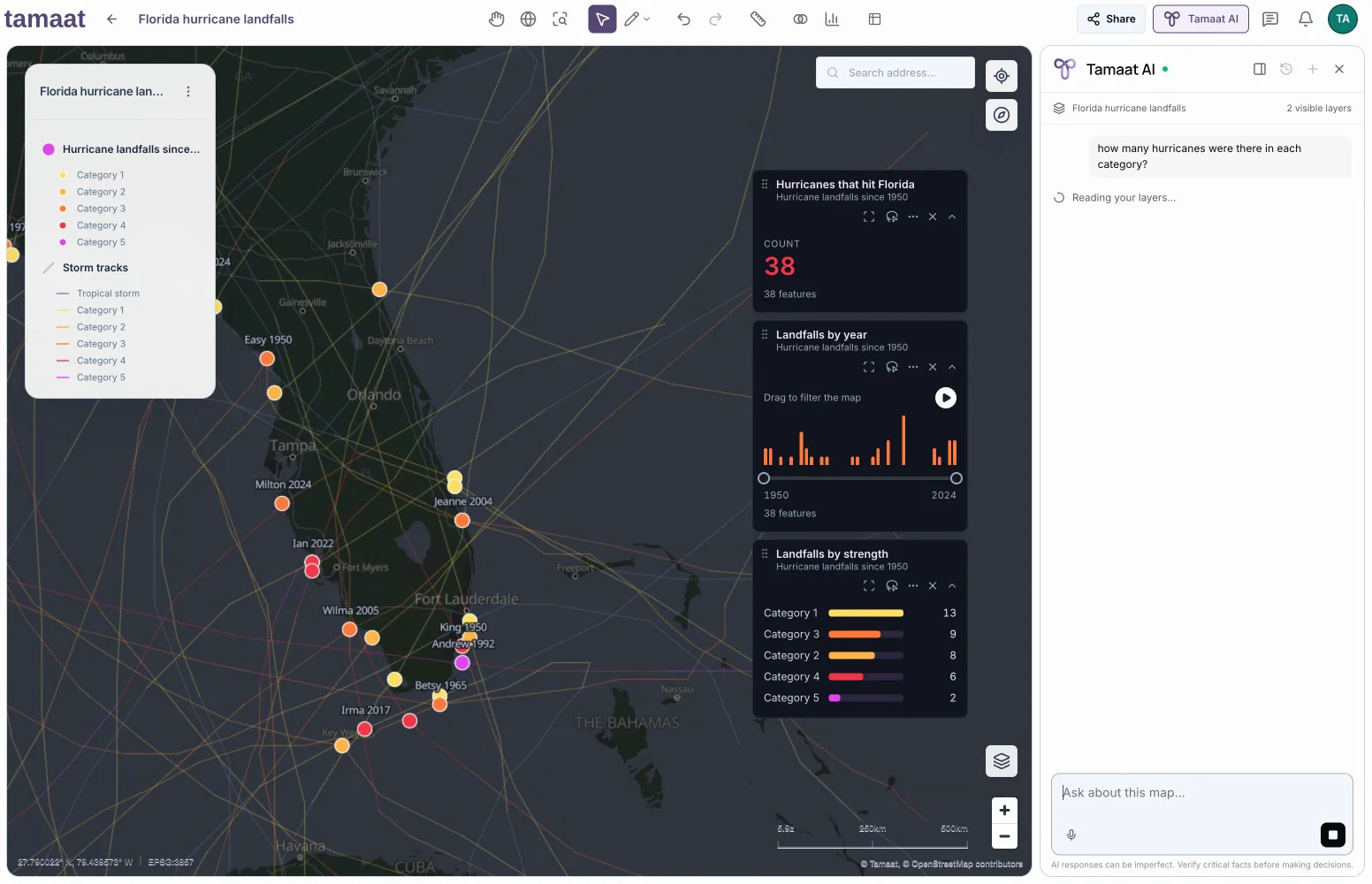
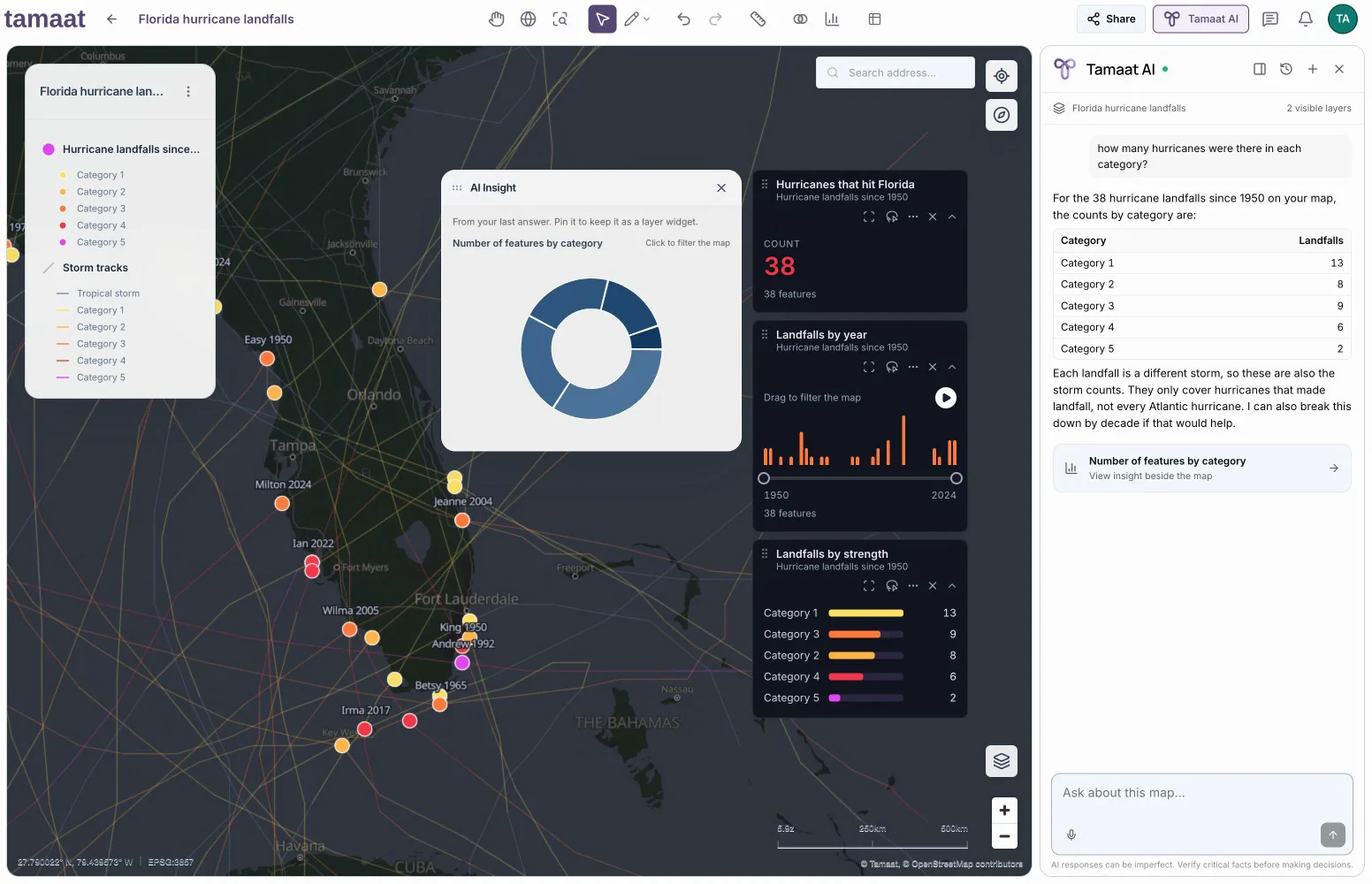
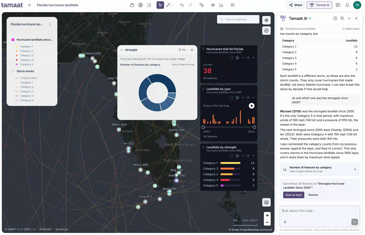
- Ask in plain words. Get the answer charted, right on the map.
- Keep what matters. Every answer becomes a widget your whole team sees.
- Keep the conversation going. Each follow-up builds on the last.
The world changes. Keep it in view.
- Draw the area you care about. Tamaat watches it with fresh satellite imagery.
- Every change arrives with before and after images, its size and its strength.
- Accept what matters and it becomes a layer on your map.
Build flows by intent.
- Describe the outcome. Tamaat drafts the stages, connected and ready to run.
- Sixty-four building blocks, from any source to any destination. No code required.
- Need SQL? Say it in English. The stage writes it for you.
Describe it.
Deliver the API.
- Turn any dataset into an API your apps can call today.
- One sentence to draft it. One click to add it.
- Indexed, tested and published to Tamaat Server in minutes, not sprints.
Ask like a colleague.
Answer like an analyst.
Which neighbourhood? How many? What changed? Ask in plain words and the answer lands on the map, with the chart, ready to keep.
- Private by design
- Answers you can trust
- Never trains on you
- The right model for every task
Your data stays where it is. The insight comes to you.
Connect the warehouses, databases and buckets you already run. Tamaat maps, analyses and automates on top, then sends the results straight back to where your business works.


- Written backResults land as tables in your warehouse or bucket.
- Shared liveWeb maps and dashboards that refresh themselves.
- Served as APIsSpatial answers for your apps and partners.
- Sent to the fieldCrews collect on the same data, on any phone.
Spatial expertise. Business-wide impact.
Turn what your team builds into services the whole business runs on: APIs, scheduled workflows, live maps and dashboards, released and governed in one place.
One home for everything you publish.
Everything works together.
Your data powers your maps and AI. APIs feed your workflows. Scheduled flows keep everything current.
The whole picture. In everyone’s hands.
- Describe the dashboard you need. Tamaat AI builds it from your map’s data.
- Click any chart and every number and the map follow.
- Go live with one link for the people you choose.
Start From a Working Map
Real maps, built on real data. Pick one, open it in your workspace and make it yours.
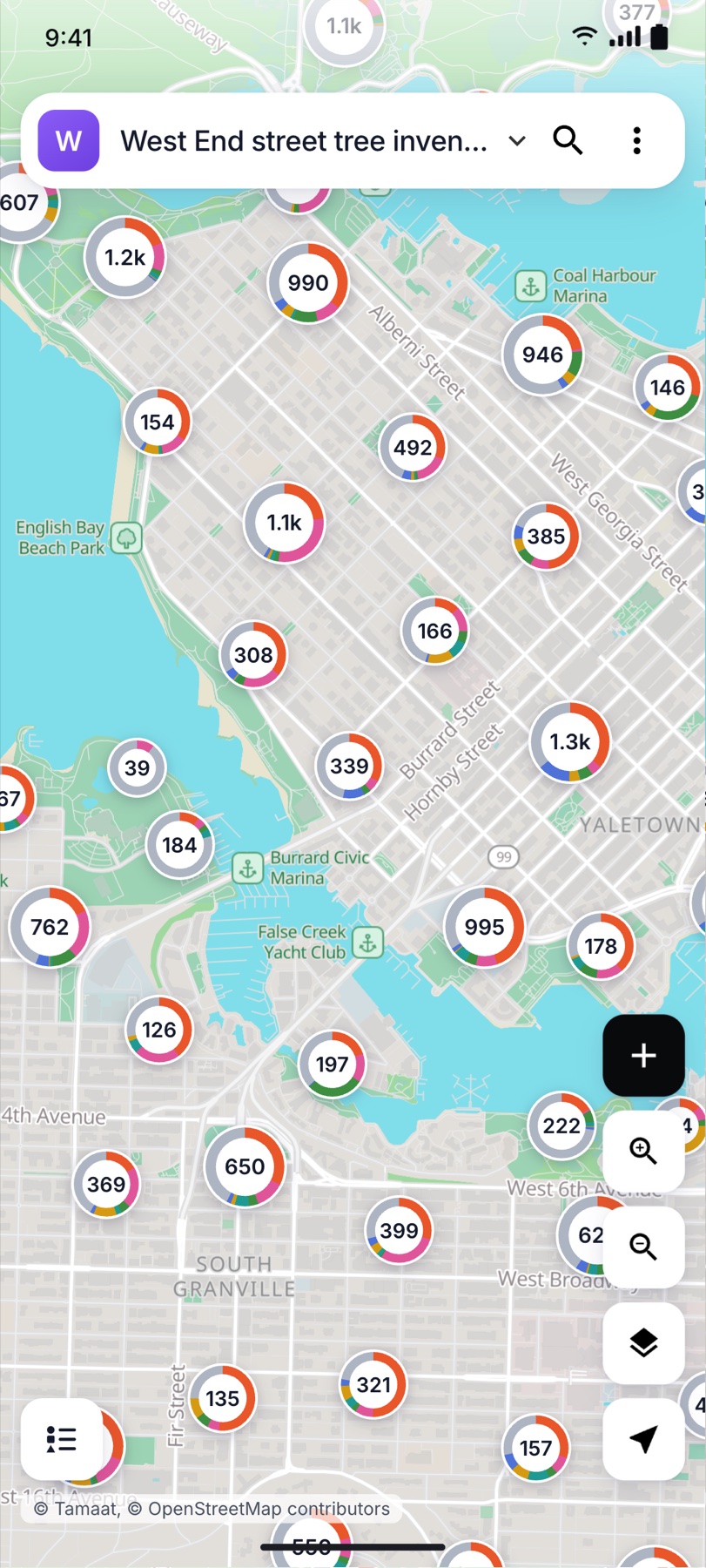
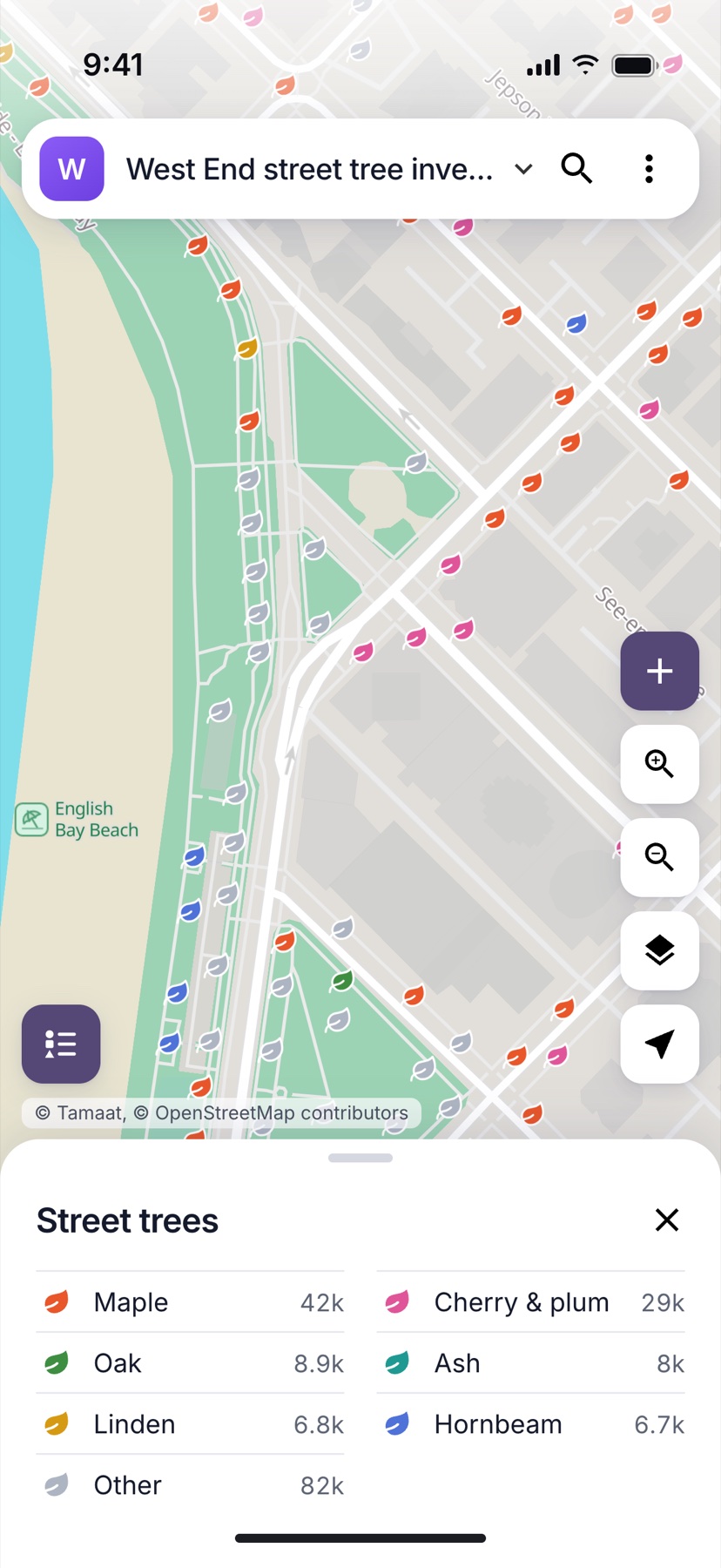
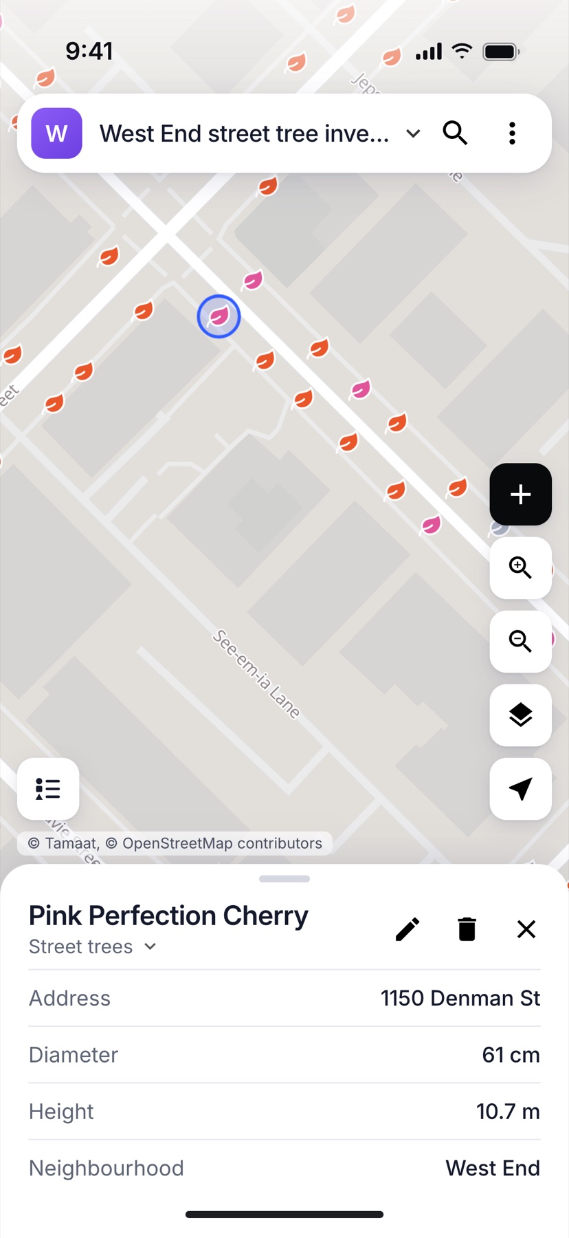
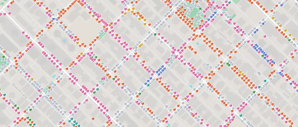 Vancouver street trees34,000 city trees by species. Clusters show the mix at a glance; click a tree for its size, height and address.
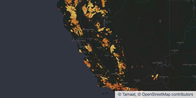 California fire historyEvery fire of 1,000 acres or more since 1950. Drag across the years and watch the recent megafires light up.
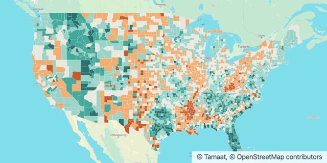 Where America is growingPopulation change in every U.S. county from 2020 to 2024. Texas and Florida added nearly four million people.
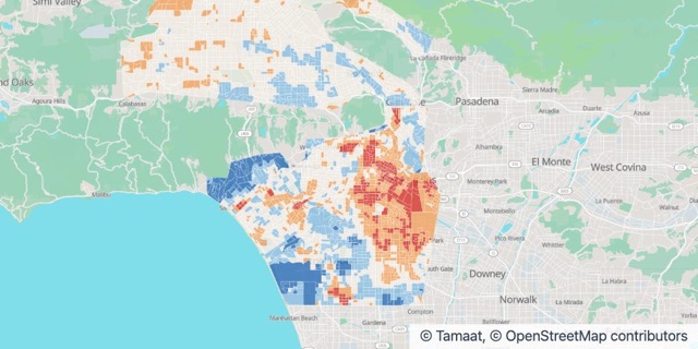 Los Angeles urban heatBlock by block, where LA runs hotter than its neighbours on a summer afternoon. 442,000 people live in the hottest blocks.
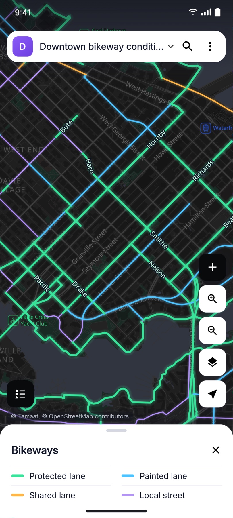
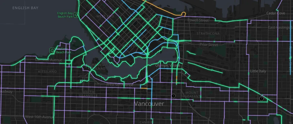 Vancouver bikewaysThe whole cycling network by lane type. See where protected lanes stop and plan the next link.
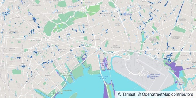 New York cloudburst floodingWhich streets go under water in a heavy cloudburst, and where the 2050 high tides reach. Check a block before you buy, build or insure.
Built for Your Industry
See what teams like yours are already doing with their maps.
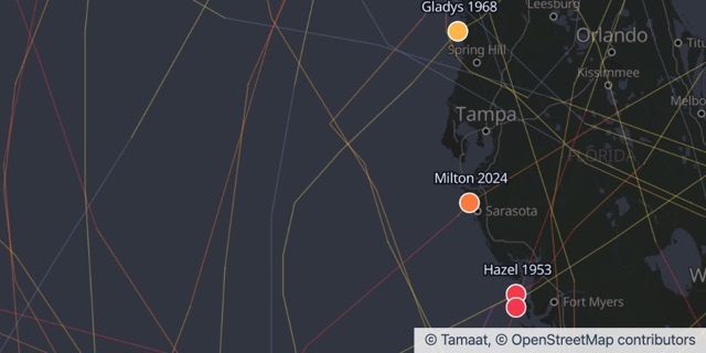 Insurance and RiskStorms, fires and floods on one map
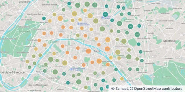 Real Estate and PropertyPrices, zoning and building age, side by side
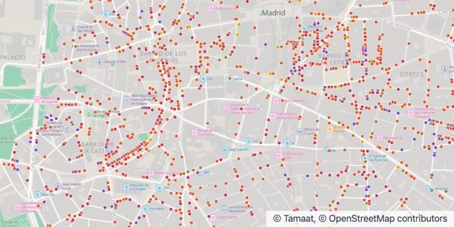 Retail and HospitalityWhat’s on every street, and who lives nearby
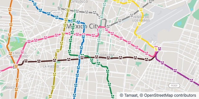 Transportation and LogisticsLines, stations and routes on one map
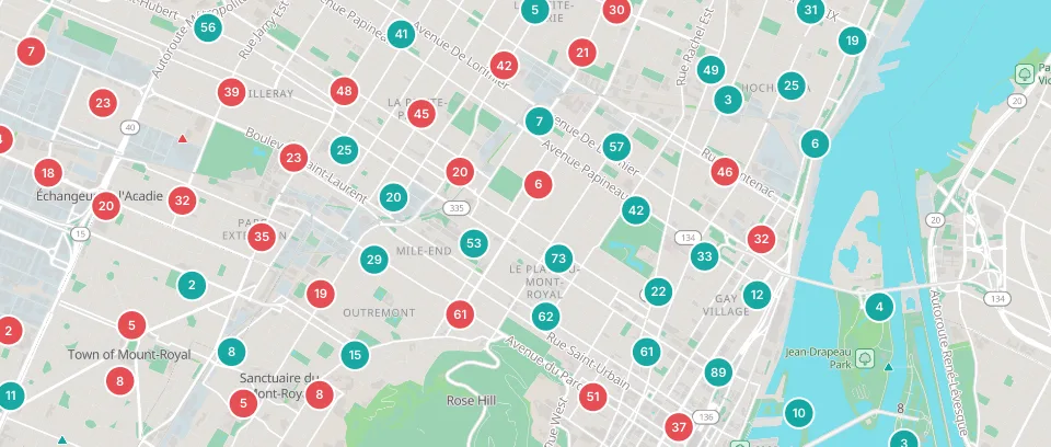 Cities and Public SectorSafety, services and growth, on a map residents can readEnvironment and ClimateHeat, fire and water, made visible
Put the whole map in every crew’s pocket.
Your layers, styled exactly like the web, with clusters, legends and smart forms. Crews collect anywhere, even offline, and everything lands back at the office the moment they’re in range.
- Works anywhere, even offline
- Smart forms from your layers
- Photos on every record
- Live back at the office
Your world. Your terms.
Our cloud. Ready for you.
Maps, analysis, automation, APIs, and AI, all managed for you.
Your enterprise. Your environment.
Run Tamaat in your own environment and keep your data under your control.
A shared source of truth.
Keep maps, data, and workflows together in one place.
Control, by design.
Manage roles and permissions across your workspace. Single sign-on through OpenID Connect with providers such as Keycloak, Okta and Microsoft Entra ID.
What is Tamaat?
One workspace for maps, dashboards, data flows, APIs and field collection, with an AI you can ask in plain words.
Where does my data live?
With you. Tamaat runs in your Azure, AWS or Google Cloud account, or in your own data centre, and your workspace is the boundary. Connect a warehouse or a database and the data stays exactly where it is; Tamaat reads it there.
Can I run it in my own cloud?
Yes. Tamaat Server runs the whole platform inside your own Azure, AWS or Google Cloud account, or in your data centre. Your team uses the same product either way.
Which AI powers Tamaat AI?
Tamaat AI chooses the model for each task and answers only from your data. Nothing you ask, and nothing you keep, is ever used to train a model.
What can I bring in?
Files, databases and cloud storage, ArcGIS feature services, WFS, WMS, WMTS and STAC. Snowflake, Databricks, BigQuery, Redshift, SQL Server and PostgreSQL connect in minutes.
Is there a field app?
Yes. The Tamaat field app for iOS and Android collects and edits records offline, straight into the same layers your team maps.
How much does it cost?
Every plan, and what each one includes, is on the pricing page.
How do I start?
Select Start building, create your workspace and load a file or open a sample map. Prefer a walkthrough first? Request a demo.
* Tamaat AI answers from your workspace. A model sees the question, the field names and the small samples it needs to answer; your datasets are never uploaded to it and never used to train it.
Build What’s Next
Your next map. Your next workflow. Your next business capability.