The Tamaat app puts your project's map in your pocket. Layers look exactly as they are styled on the web: the same colours, icons, labels and clusters. Every record goes by its real name, so a crew can find the right tree, hydrant or lane at a glance. Add a record where you stand, fix one in seconds, and keep working when the signal drops.
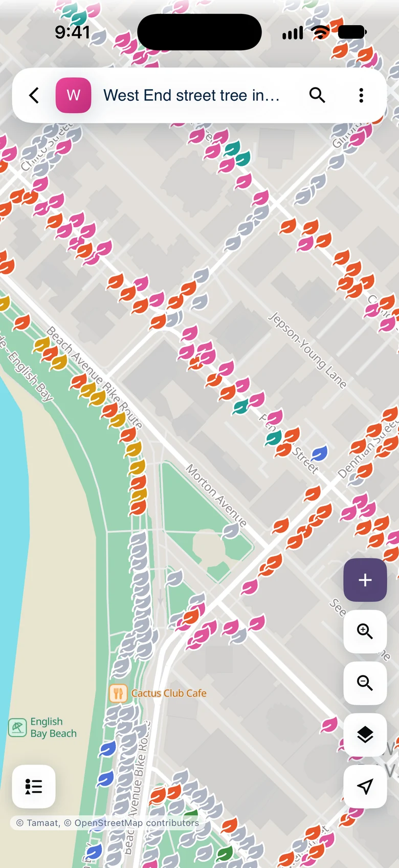 Vancouver street trees in the Tamaat app, a leaf for every tree in the colour of its species
The app is the same on iPhone and Android. These guides show iPhone screens.
Guides
Sign in and open a project.
3 min
Styled layers, the legend, clusters, layers and basemaps.
5 min
Tap a record, browse a layer's records, or search.
4 min
Three taps from the map to a saved record.
4 min
Change a record from its card, with Undo.
4 min
Save an area, keep collecting, and sync later.
4 min
The web settings that shape what crews see.
6 min
Demo data: City of Vancouver Open Data — street trees and bikeways.
- Get Started
- Prepare a Map for the Field — for the GIS team setting up a project