Every record goes by its real name, the one your GIS team chose on the web, so you never have to guess between "Record 1" and "Record 2".
Tap a record
Tap a point, line or area. Its card rises from the bottom: the record's name, its layer, and its details, one per row. The record keeps its own colour and gets a blue ring, so you can see which one you tapped.
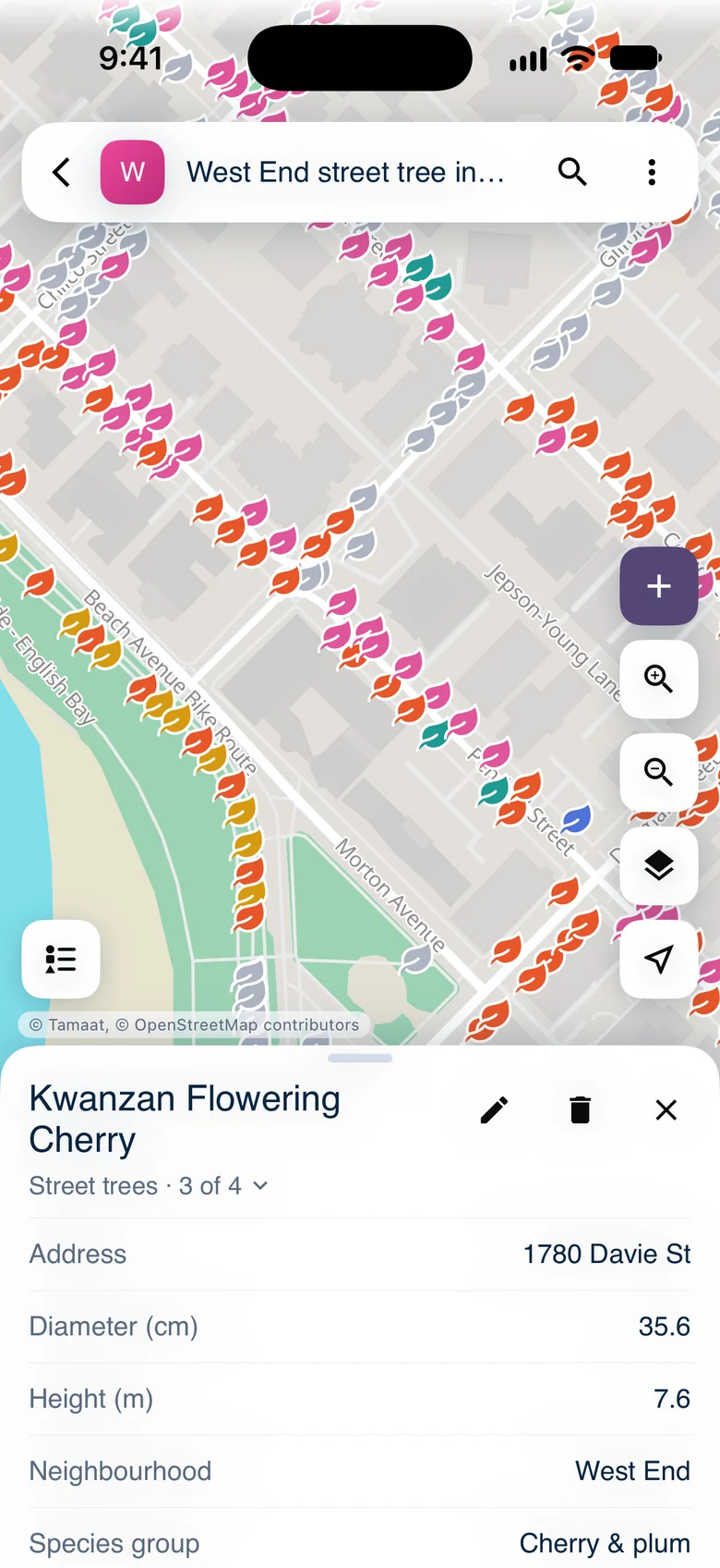 A street tree's card titled Kwanzan Flowering Cherry, with its address, diameter, height, neighbourhood and species group
The layer's name sits under the title. When your tap catches several records, it also shows where you are, such as "1 of 4"; tap it to pick another one.
Lines work the same way. A selected line shows a blue core inside a white edge.
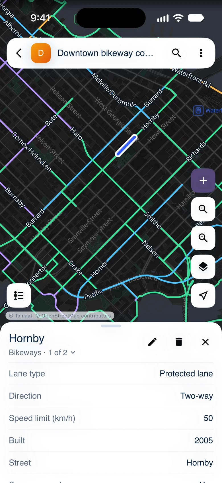 The Hornby protected bike lane, selected, with its card
Browse a layer's records
In "Layers", tap a layer's name to list its records. Each row shows the record's symbol, its name and one detail. Tap a row to open that record on the map.
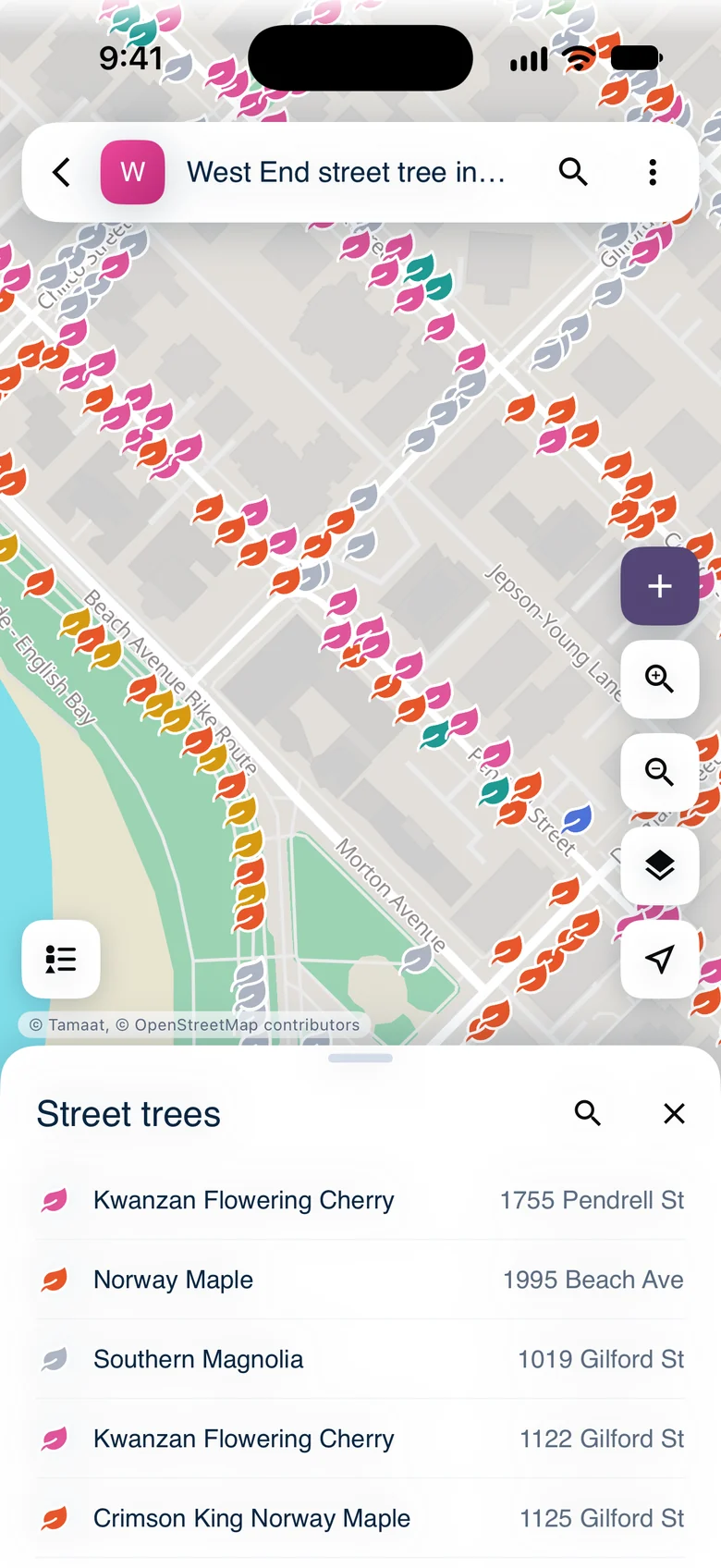 The Street trees records list, each tree by its species name and address
Search
Tap search in the top bar and choose "Records". Type part of a name, such as a species or a street, and matching records from the area on the map are listed as you type. Tap one to go to it. "Address" finds a place instead.
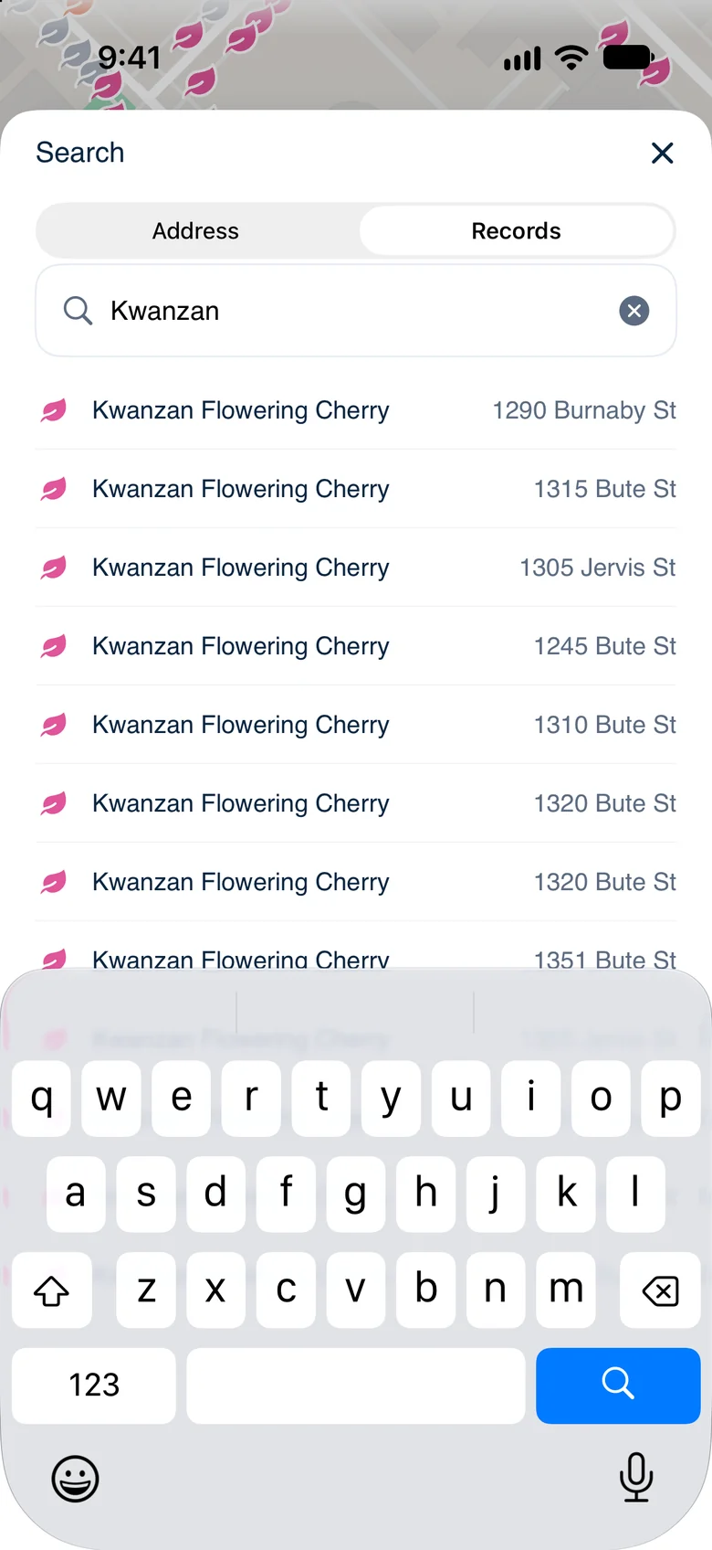 Search results for Kwanzan Flowering Cherry
Demo data: City of Vancouver Open Data — street trees and bikeways.
- Edit, Move or Delete — change the record you found
- Add a Record