You style a layer once, on the web, and the phone follows. There are no separate field settings to keep in step.
Style the layers
Open a layer's style in the web map and set it up as you would for any map: one symbol, colours by category or by value, icons, line and fill styles, and labels. See Style Layers and Labels & Symbols.
The phone draws all of it. The legend on the phone lists your categories with a count for each, so pick labels a crew will recognise at a glance.
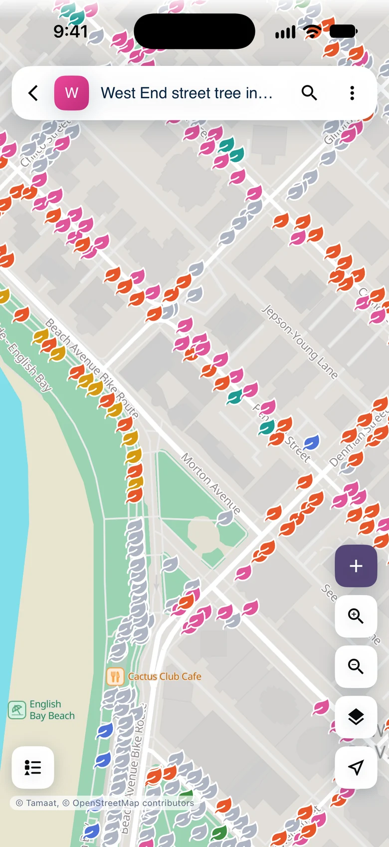 Street trees styled by species group, as a crew sees them
Heatmap and hexagon views are for overview maps on the web. On the phone, those layers draw in their plain style.
Turn on clustering for dense points
For a point layer with thousands of records, turn on "Clustering" in its style. Crews then see counted clusters when zoomed out, ringed with the mix of categories, and single records from street level. See Clustering, Heatmaps, and Hexagons.
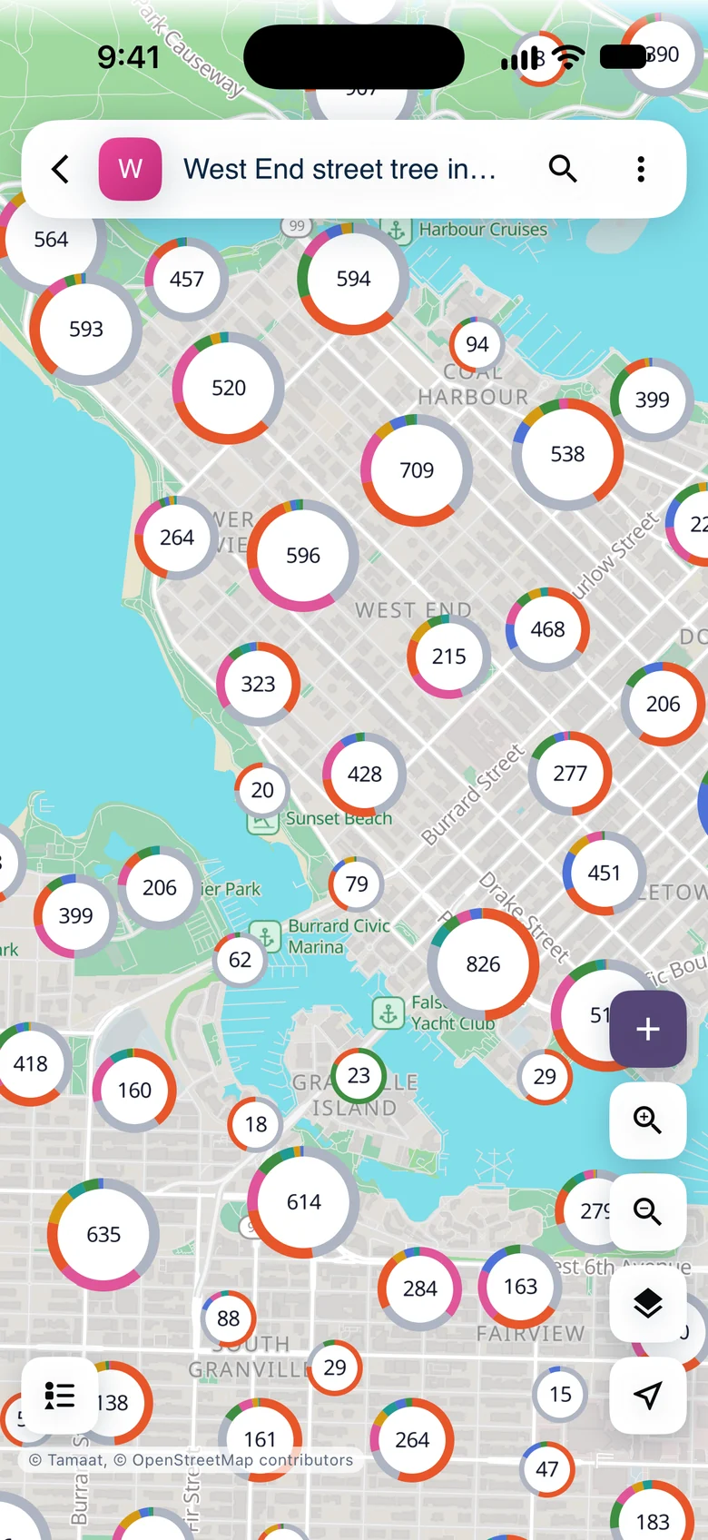 Clusters on the phone, each ring showing the species mix
Choose each record's title
In the layer's style, on the "Identify" tab, set "Title" to the field that names a record, such as a species, an address or a route. That name heads the record's card, its row in lists and its search result, on the web and on the phone.
If you leave "Title" unset, Tamaat picks a field for you: the first text field named like name or title, otherwise the first text field that isn't an identifier.
On the same tab, hide fields a crew doesn't need and set their order. The phone's card follows both.
Choose where the map opens
Set the project's starting view in its settings. The phone opens there, on the basemap the project uses.
Let crews add and edit
A crew member can add, edit and delete records on any layer they can edit on the web. Layers they can only view show on the phone for reference.
Demo data: City of Vancouver Open Data — street trees.